Satellite Technology to Inform Coral Reef Monitoring System

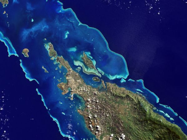
Satellite imagery of coral reefs can be analyzed to study change over time and inform coral conservation efforts. (Image Credit: NASA Earth Observatory)
Satellite technology is informing a global coral reef monitoring system and providing imagery that will help scientists understand the current health of the reef and better monitor its change over time.
This fall, five pilot sites were developed in order to refine mapping methods, including Heron Island, Great Barrier Reef, Australia; Moorea, French Polynesia; Lighthouse Reef, Belize; West Hawaii Island, Hawaii; and Kurimunjawa, Indonesia. In 2019 the methods will be scaled to broader areas and will expand to encompass reef systems around the entire globe in 2020.
The project is a partnership between Paul G. Allen Philanthropies, Planet, Carnegie Institution of Science, University of Queensland and the Hawaii Institute of Marine Biology. Mongabay reports that the project includes a “global monitoring system that will detect physical changes in coral cover at high resolution on a daily basis, enabling researchers, policy makers, and environmentalists to track severe bleaching events, reef dynamiting and coastal development in near-real time.”
Last month, Paul G. Allen Philanthropies and partners released the Allen Coral Atlas which includes satellite imagery from 2017-2018 of the five pilot sites. The coral atlas will be updated with more images as more sites are added, and images will be licensed for non-commercial scientific and conservation uses.
